Phantom 4 RTK SDK Quadcopter - DJI
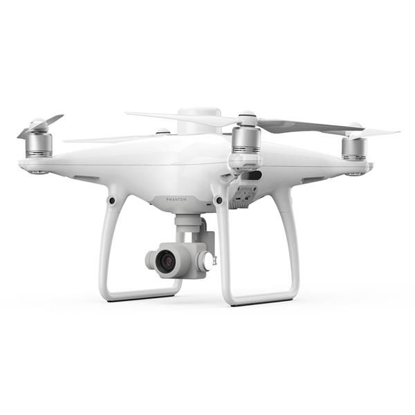
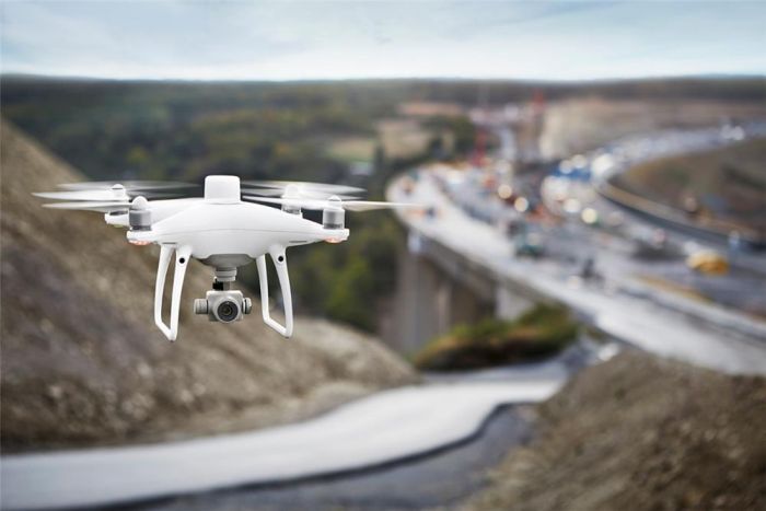
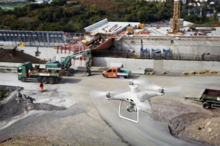
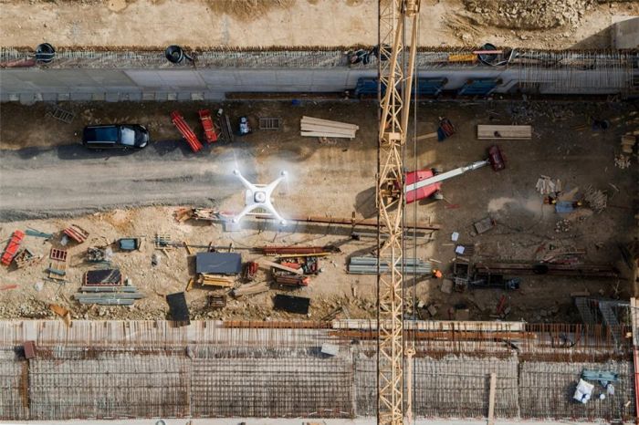
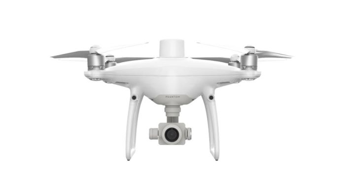
The Phantom 4 RTK drone is designed to provide high-precision data for mapping and 3D terrain modeling. Thanks to its small size and its specialization, this drone is the best tool for carrying out surveying work.Phantom 4 RTK is an indispensable tool in the hands of a person whose work is related to construction, geodesy, architecture or mining. It is a completely complete solution that allows you to obtain highly accurate data for further post-processing. This small drone can reduce the time of ground geodetic work by 5-7 times and at the same time reduce the company’s financial costs.
To control the flight, a specialized DJI GS RTK application is used; it is designed taking into account the specifics of the drone’s use. Allows you to create an optimal automatic flight pattern, control camera operation, and warn the pilot about adverse weather conditions. Mobile SDK support for using third-party applications on Android or IOS for mapping, building orthophotos and performing other production tasks. The app's tools allow you to effectively control and configure your drone using your mobile device.
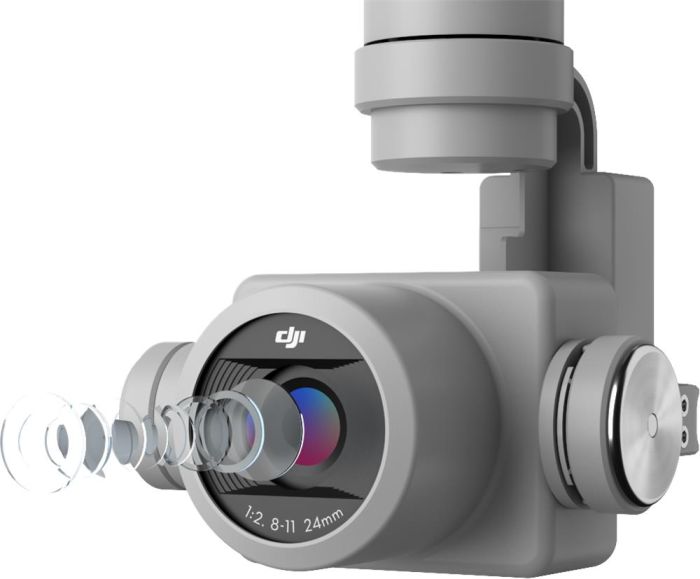
High quality shooting is ensured thanks to a one-inch CMOS matrix with a resolution of 20 megapixels. The mechanical shutter prevents blurry frames when shooting in motion. Each Phantom 4 RTK camera is calibrated to improve accuracy.
The use of the RTK method makes it possible to achieve high positioning accuracy vertically (1.5 cm) and horizontally (1 cm). Aerial surveying using the RTK method gives absolute horizontal accuracy of the photogrammetric model: 5 cm. Thanks to the D-RTK 2 mobile station, data from the DJI Phantom 4 RTK SDK is easily integrated into almost any process, making the drone an effective tool for mapping and 3D modeling
The drone is equipped with the OcuSync system, which ensures flight safety and video transmission over a distance of up to 7 km in urban areas and difficult operating conditions. The TimeSync system allows you to obtain data on the location of the drone with an accuracy of 1 cm.
DJI Phantom 4 RTK is capable of solving the following tasks:
- Topographic survey
- 3D models
- Creation of maps and digital elevation models
- Construction control
- Volume measurement
- Architecture
Functional features:
- Lens Calibration
- OcuSync system
- TimeSync system
- FlightAutonomy system
- DJI SDK System
- RTK system
- D-RTK 2 base station
Phantom 4 RTK SDK Specifications
| Diagonal size (without propellers) [Aircraft] | 350 mm |
| Take-off weight [Aircraft] | 1391 g |
| Max. flight altitude [Aircraft] | 6000 m (above sea level) |
| Max. flight time [Aircraft] | About 30 minutes |
| Max. rate of descent [Aircraft] | 3 m/s |
| Max. climb speed [Aircraft] | 6 m/s (automatic flight); 5 m/s (manual control) |
| Max. speed [Aircraft] | 50 km/h (P mode), 58 km/h (A mode) |
| Operating temperature [Aircraft] | 0~40°C |
| Hover Accuracy [Aircraft] | RTK is on and working normally: vertical: ±0.1 m; horizontal: ±0.1 m; RTK off: vertical: ±0.1 m (visual positioning system); ±0.5 m (satellite positioning systems) horizontal: ±0.3 m (visual positioning system); ±1.5 m (satellite positioning systems) |
| Image position shift [Aircraft] | The location of the camera center relative to the phase center of the D-RTK antenna under the aircraft body axis: (36, 0 and 192 mm) is used in combination with the image coordinates of the output data. Positive values for the x, y, and z axes of the machine body point forward, right, and down, respectively. |
| Maximum speed [Visual positioning] | ?50 km/h at 2 m above the ground with good lighting |
| Height Range [Visual Positioning] | 0–10 m |
| Operating range [Visual positioning] | 0–10 m |
| Frequency [Visual Positioning] | Front/Rear: 10 GHz; Bottom: 20 GHz |
| Viewing Angle [Visual Positioning] | Front/Rear: 60° (horizontal), ±27° (vertical); Bottom: 70° (front and back), 50° (left and right) |
| Obstacle detection range [Visual positioning] | 0.7–30 m |
| Working Environment [Visual Positioning] | Surface with visible texture, light level (> 15 lux) |
| Effective pixels [Camera] | 20 MP |
| Sensor [Camera] | 1" CMOS |
| Operating temperature [Camera] | 0 ~ 40 ? |
| Lens [Camera] | Viewing angle 84°; 8.8 mm / 24 mm (35 mm format equivalent); f/2.8–f/11, autofocus 1 m–? |
| Shutter speed [Camera] | email 8–1/8000 s, mech. 8–1/2000 s |
| Image Size [Camera] | 4864*3648 (4:3); 5472*3648 (3:2) |
| Video shooting modes [Camera] | H.264, 4K: 3840*2160 30p |
| ISO [Camera] | Video: 100–3200 (auto), 100–6400 (manual); Photo:100–3200 (auto), 100–12800 (manual) |
| Supported file formats [Camera] | JPEG, MOV, FAT32 (? 32 GB); exFAT (> 32 GB) |
| Memory card support [Camera] | microSD, Max. volume: 128 GB Speed class: Class 10, support UHS-1 Transfer speed? 15 MB/s |
| Stabilization [Gimbal] | On 3 axes (transverse, longitudinal and vertical) |
| Controllable range [Suspension] | Tilt: -90° ~ +30° |
| Angular control accuracy [Gimbal] | ±0.02° |
| Max. controlled angular velocity [Gimbal] | 90°/s |
| Type [Battery] | Lithium polymer 4S |
| Capacity [Battery] | 5870 mAh |
| Voltage [Battery] | 15.2 V |
| Energy Capacity [Battery] | 89.2 W/h |
| Weight [Battery] | 468 g |
| Max. charging power [Battery] | 160 W |
| Charging temperature range [Battery] | -10 ~ 40 ? |
| Operating temperature [Remote control] | 0 ~ 40 ? |
| Signal transmission range [Remote control] | FCC: 7 km; SRRC / CE / MIC / KCC: 5 km (in open space without interference) |
| Display [Remote Control] | screen 5.5 inches, 1920*1080, 1000 cd/m?, Android 4G RAM+16 GB ROM |
| Transmitter Power (EIRP) [Remote Control] | 2.4 GHz CE/MIC/KCC: <20 dBm |
DJI Phantom 4 RTK Package Contents
- drone body
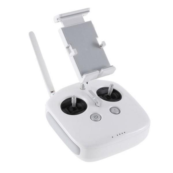
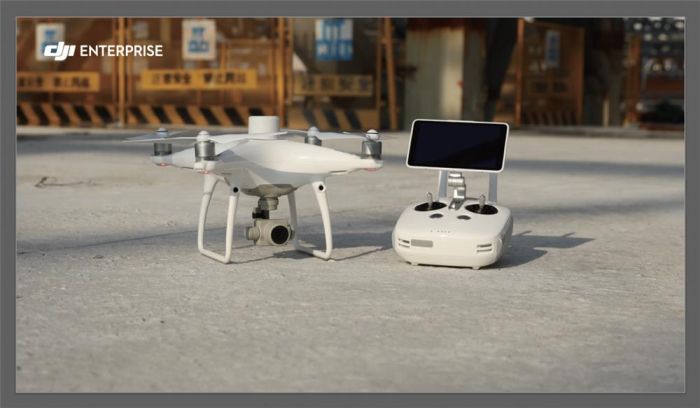
- control panel with operating screen
- two sets of propellers (8 pieces)
- Intelligent Flight Battery
- AC power adapter
- AC power cable
- Charging hub for Intellegent Flight Battery
- Stabilizer lock
- MicroSD memory card (16 GB)
- Micro USB cable
- Shipping container
Guarantee period 1 год


