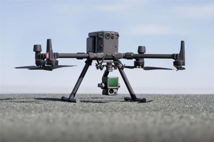
Zenmuse L1 - DJI
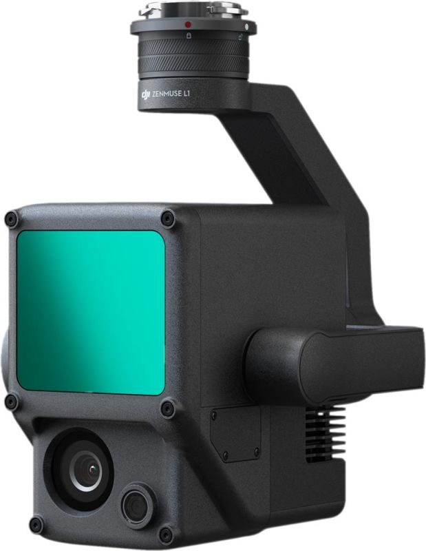
A completely new type of payload from the world leader in drone technology - DJI Zenmuse L1. A laser scanner designed specifically for the DJI Matrice 300 RTK flight platform will allow you to obtain highly accurate terrain scanning data in a short time.Zenmuse L1 is a next-generation device that will improve the accuracy of 3D models and simplify the data processing process. Today, laser scanning is the most accurate tool for obtaining spatial data. DJI makes this technology accessible to everyone.
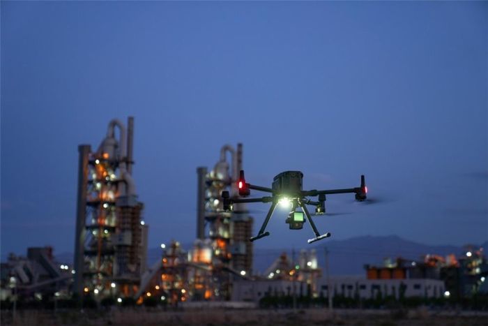
L1 has a dust and moisture protection rating of IP44, which means it is ready to work in the harshest conditions. Scanning in low light or at night? L1 will cope with this task too, because there is an active detection system on board. The Zenmuse L1 laser scanner can be installed on either the bottom or top of the DJI Matrice 300 RTK. In addition to operating in flight mode, L1 supports ground-based static scanning of an object.
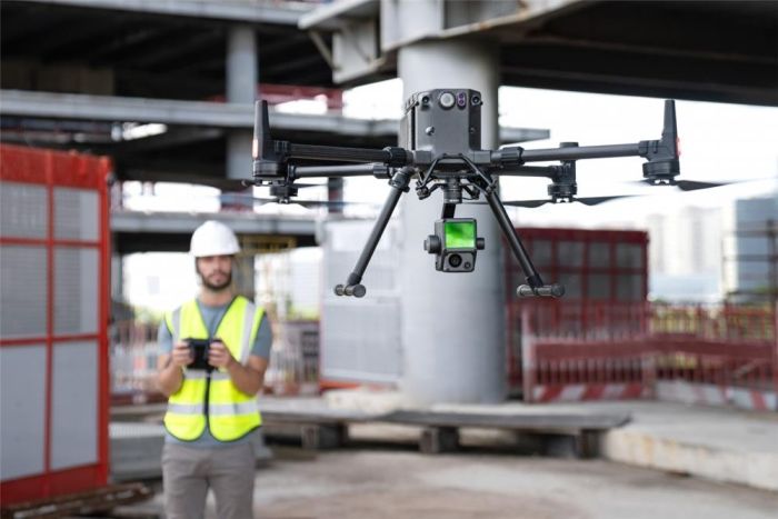
In one flight at an altitude of 100 meters at a speed of 10 m/s, L1 and M300 will be able to collect data from an area of 2 km?. In this case, the scanner is ready to work both on area objects (factories, construction sites, fields) and on linear objects (power lines, roads, pipelines). The measurement accuracy in plan reaches 10 cm, in height 5 cm. The maximum scanning range is 190 meters, the recommended flight altitude is 50-150 m.
Zenmuse L1 is a payload that will help solve the following problems:
- Topographic survey and mapping;
- Inspections of power line clearings;
- Agriculture and forest taxation;
- 3D photography of industrial and construction sites.
General characteristics | |
| Name | Zenmuse L1 |
Dimensions | 152 * 110 * 169 mm |
Weight | 900 g |
Power | 30 W |
Dust and moisture protection | IP44 |
Supported Drones | Matrice 300 RTK |
Operating temperature range | -20° to 50° C |
Detection range | 450 m at 80% reflectance, 0 klx; |
Number of points | Single channel return: 240,000 points/s; |
System Accuracy | Horizontal: 10 cm at 50 m; |
Real-time point cloud coloring modes | Natural color; |
Raw data storage | Photo/IMU/Point cloud |
Storage of point cloud data | Real-time simulation data storage |
Supported microSD cards | microSD: Class 10 / UHS-1 or higher; |
Supported Software | DJI Terra |
Data Format | DJI Terra supports exporting point cloud models in standard format: |
Laser scanner | |
Measurement accuracy | 3 cm at 100 m |
Max. supported number of channels | 3 |
Scan Modes | Repeating line scan mode, |
Viewing angle | Repeated line scanning: 70.4°*4.5°; |
Laser safety class | 1 |
Visual camera | |
Matrix size | 1 inch |
Effective pixels | 20 MP |
Photo size | 4864*3648 (4:3); 5472*3648 (3:2) |
Focal length | 8.8 mm / 24 mm (EGF) |
Shutter speed | Mechanical shutter speed: 1/2000 - 8s |
ISO | Video: 100 – 3200 (Auto), 100 – 6400 (Manual) |
Aperture size | f/2.8 - f/11 |
Position sensor | |
Permission | 1280*960 |
Viewing angle | 95° |
Inertial module | |
IMU update rate | 200 Hz |
Accelerometer measurement range | ±8 g |
Angular velocity meter range | ±2000 dps |
Deviation angle accuracy | Real-time: 0.18°, post-processing: 0.08° |
Pitch/Roll Accuracy | Real-time: 0.03°, post-processing: 0.025° |
Suspension | |
Stabilization system | 3-axis (tilt, pan, pan) |
Angular vibration range | 0.01° |
Fastening | Detachable DJI SKYPORT |
Mechanical range | Tilt: -120° to +30°; Panning: ±320° |
Operating modes | Follow/Free/Re-center |


